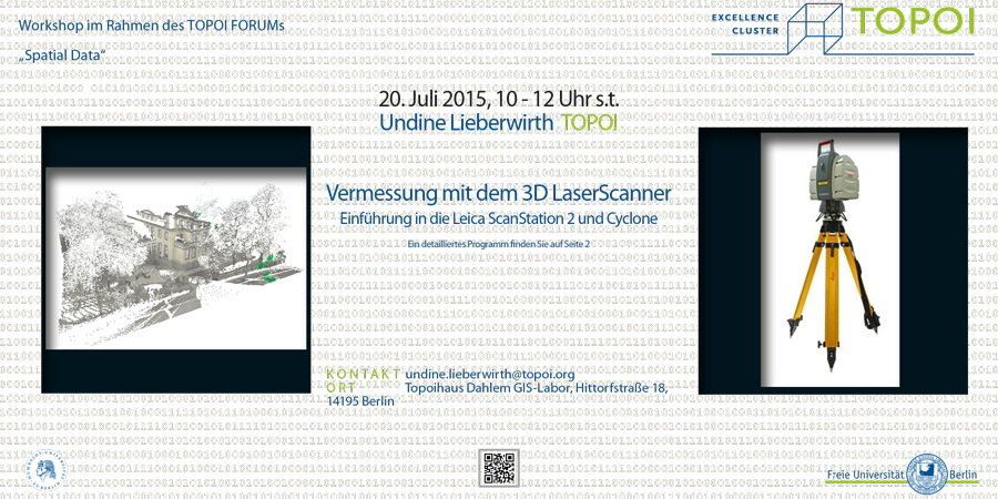
Terrestrial laserscanners are becoming more popular in the measurement of 3D surfaces in archeology and historical building research. The aim of the workshop is to familiarize participants with not only the device, but also the associated control and processing software for 3D point clouds. After this workshop participants will be able to operate the device via the control software and edit the resulting point cloud.
The second course day can be arranged according to participants’ schedule.
Course requirements: none

