Registration for the orientation session until June 8, 2015
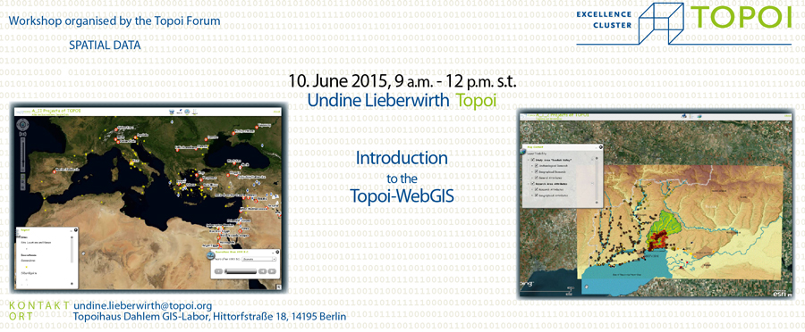
The Topoi Forum — Spatial Data Analysis invites Topoi researcher to a one-day orientation session on June 10, 2015 (9 – 12 p.m., Topoihaus Dahlem). The course deals with the digital data processing to prepare spatial data for displaying them in a WebGIS environment. The aim of the course is to provide Topoi researchers a browser-based platform to present their spatial digital data (GIS data) in the internet. After the course, participants will be able to administer their own WebGIS application in accordance with the OGC standards.
Further topics are: managing the WebGIS-layout, selecting the most suitable WebServices and copyright questions.
A WebGIS is a digital, interactive platform, which can represent GIS data in a browser-based environment. The web service offers the ability to present maps, perform spatial analyzis and gives access for data download. Examples of Topoi GIS projects are displayed at the Forum Spatial Data webpage.
The Topoi-forum ‘Spatial Data’ is responsible for the administration of the WebGIS and ensures further support for all Topoi researchers.
More Inforamtion
→ Program and detailed information
→ (A-SDA) Forum Spatial Data Analysis
→ Forum Spatial Data webpage

